January 11, 2024 | 17:08
Research centers and institutes
International cooperation
Lifelong learning
Laboratory for remote sensing of the Earth to operate at YSU
Decoding of space photos and aerial photos will be implemented at YSU while studying water and land resource management, climate change and natural disaster risk assessment. Laboratory for remote sensing of the Earth is opened at the Faculty of Geography and Geology.
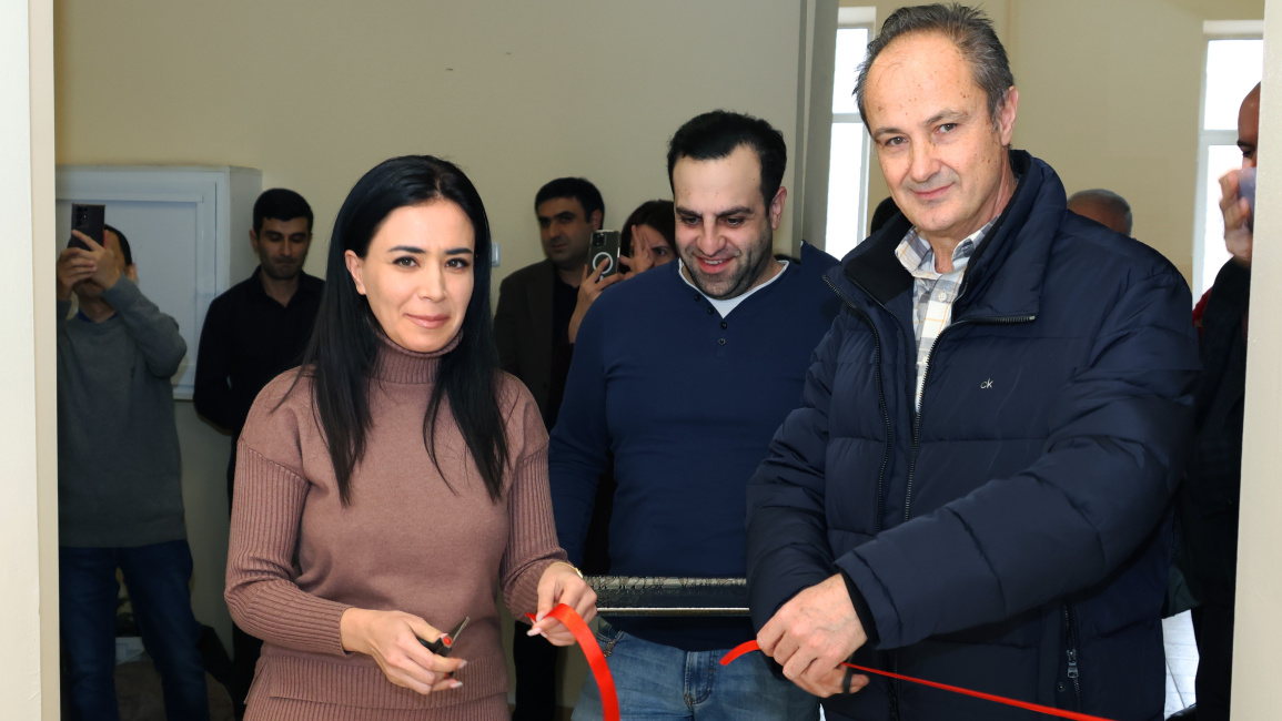
The opening of the laboratory was implemented within the framework of the project "Developing interdisciplinary postgraduate programmes and strengthening research networks in geoinformation technologies in Armenia & Kyrgyzstan - GeoTAK" of the EU "Erasmus+" programme.
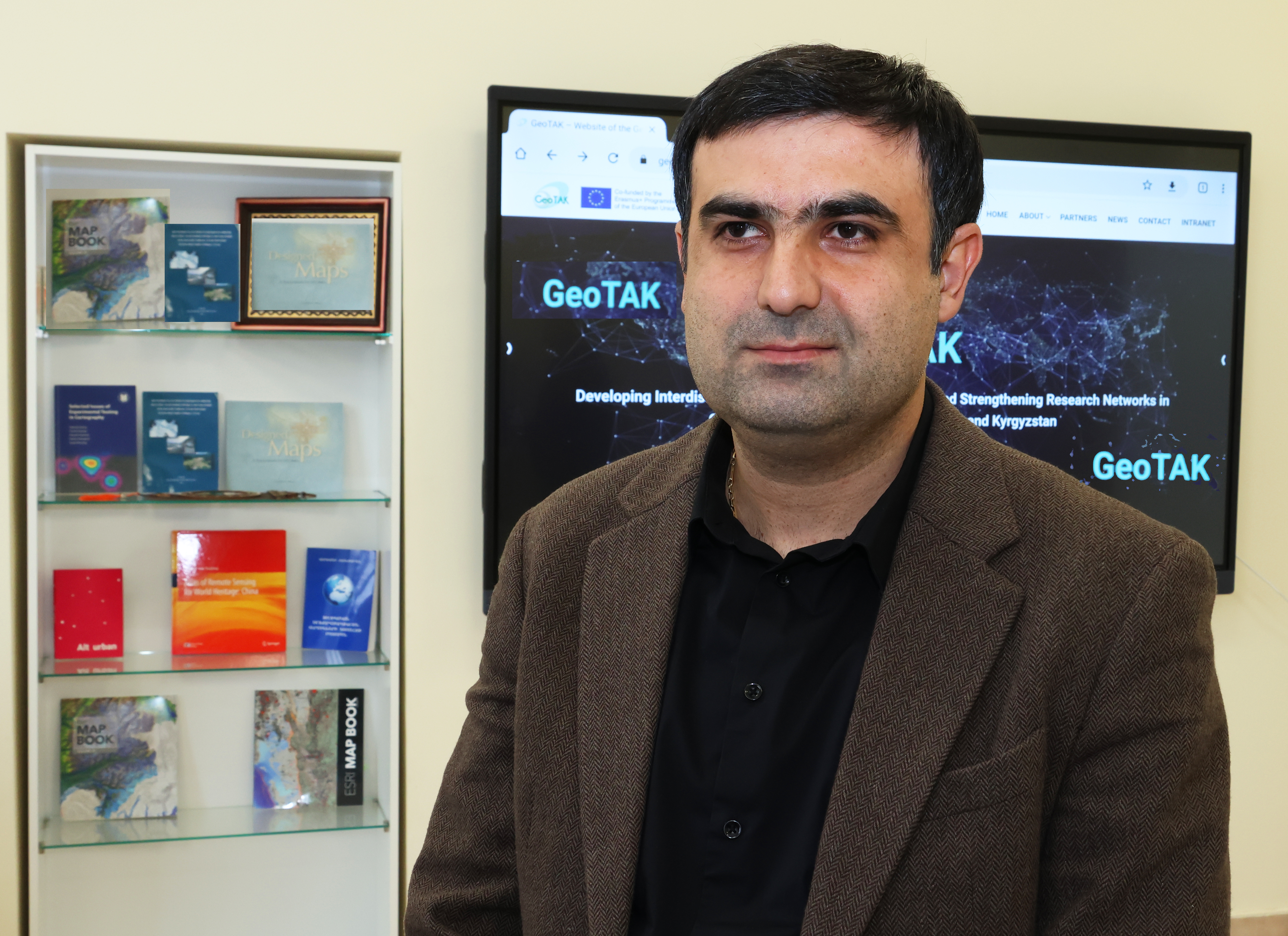
Sargis Kelyan, Dean of the Faculty of Geography and Geology, Candidate of Technical Sciences, speaking about the program, noted that the goal is to create an international postgraduate educational program in the field of geoinformation technologies for Armenia and Kyrgyzstan. "The laboratory is enriched with modern equipment. This program is an innovative approach in the field of science and education, and the faculty will support the continuous implementation of such projects."
Artak Piloyan, Acting Head of the Chair of Cartography and Geomorphology, Candidate of Geographical Sciences, emphasized the importance of the fact that a scientific research center will be established as a result of joint works conducted by the Laboratory for remote sensing of the Earth and Laboratory of geographic information systems already operating at the faculty. "Management of water resources and land consolidation are among the most important issues in Armenia in recent years, therefore space photos are the best way to study the change of the mentioned phenomena and objects over time."
In this context, Artak Piloyan, speaking about the ways of obtaining space photos, noted that the National Aeronautics and Space Agency (NASA) has had satellites for remote sensing of the Earth since 1972, the data of which is available for everyone. "The photos of the European Space Agency are also available, as well as the data received from the Armenian satellite, which will also be used during research."
A. Piloyan emphasized that the laboratory provides a wide range of opportunities, especially to young researchers to use that information in their theses and research grant programs, to which the powerful computer techniques and equipment available in the laboratory will contribute.
YSU scientific secretary Mary Hovhannisyan, emphasizing the importance of the laboratory, expressed her belief that the research works of graduate and post-graduate students will be transferred from the theoretical field to the practical field, which will also contribute to the development of the profession of geologist.
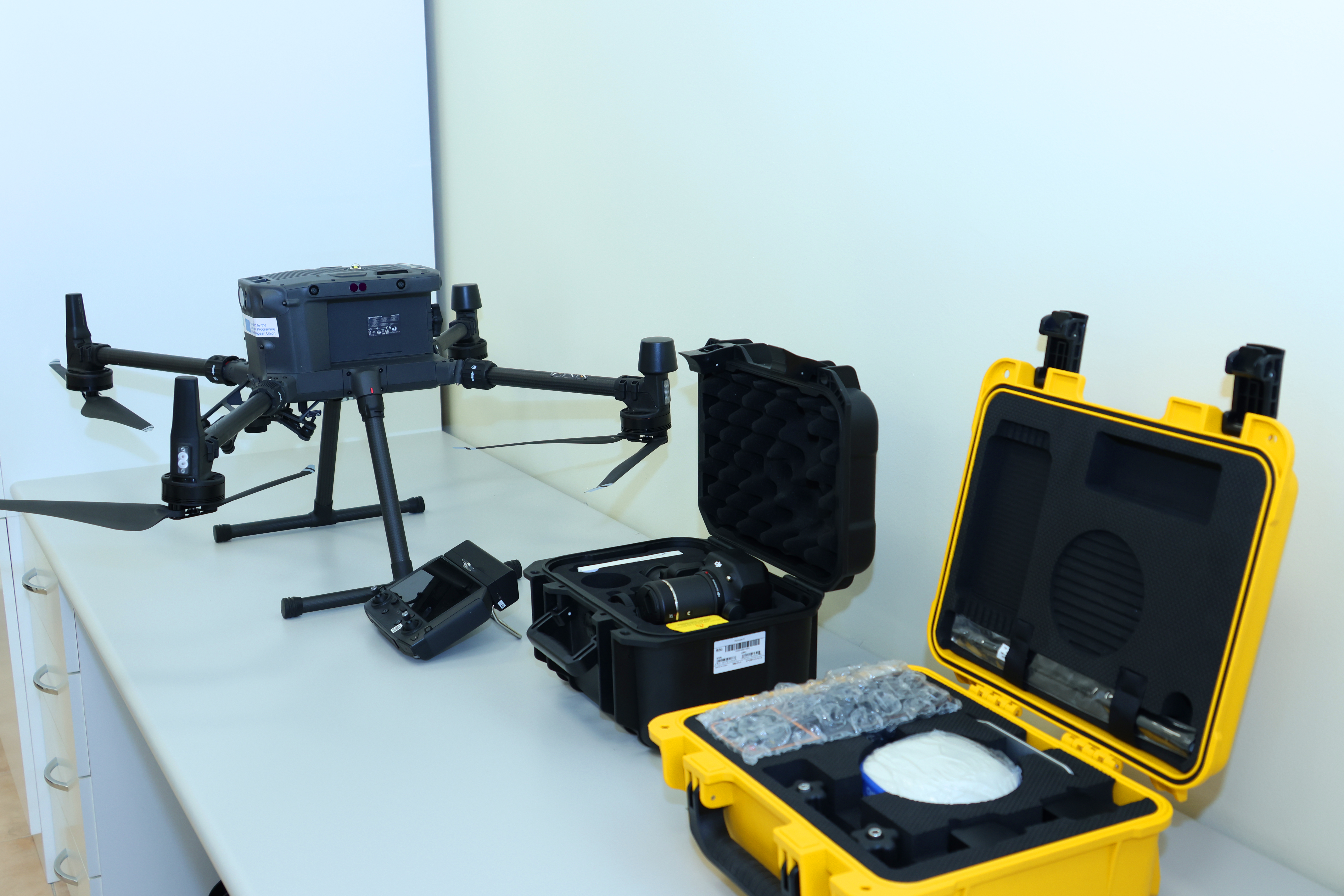
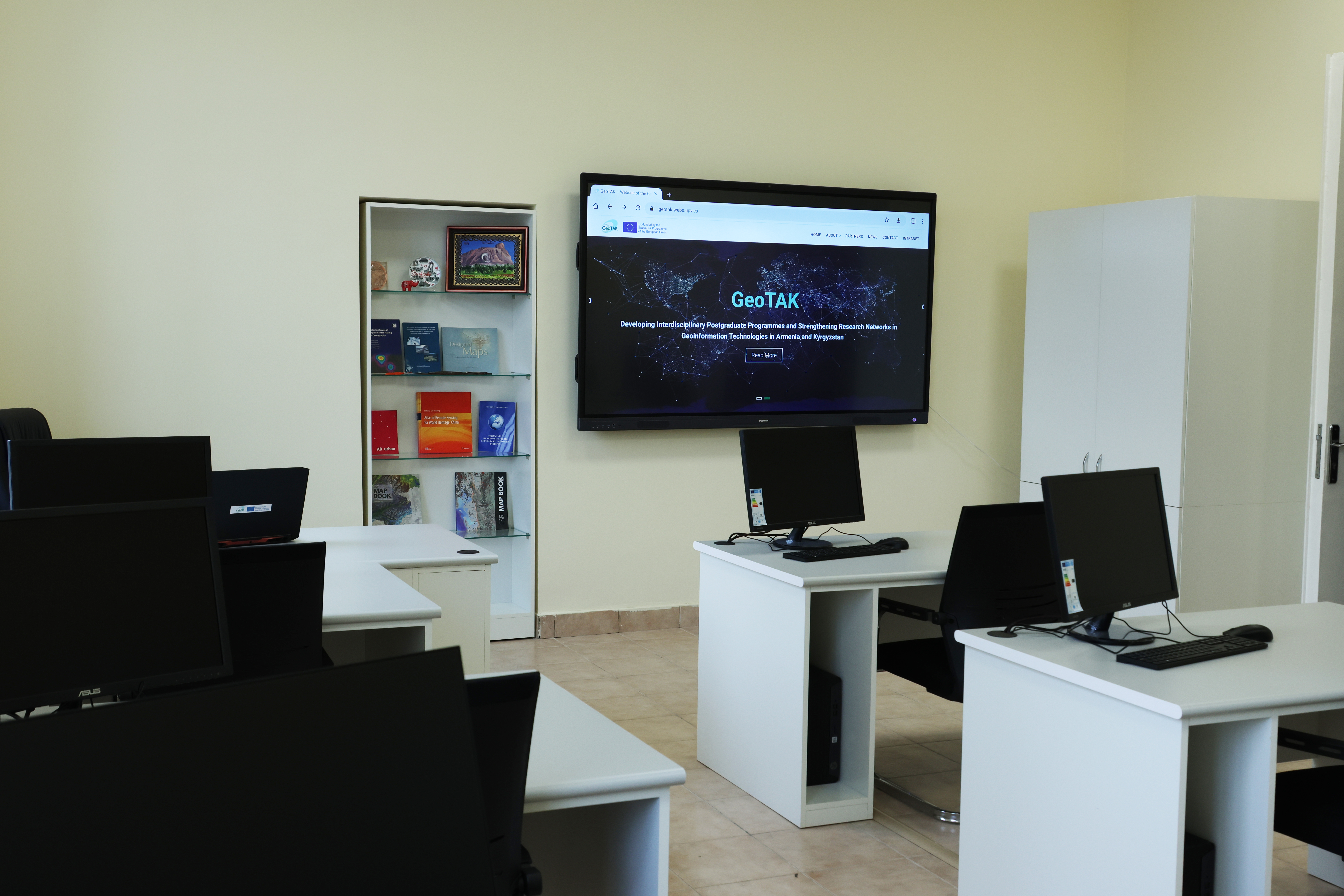
Within the framework of the program, part of the budget was allocated to YSU for purchasing equipment. Industrial drone with accessories, shooting sensor for mapping, global navigation system and desktop workstation were purchased. In addition to these pieces of equipment, YSU management allocated new computers and furniture meeting international standards to the laboratory and a smart screen, as well as renovated the laboratory.
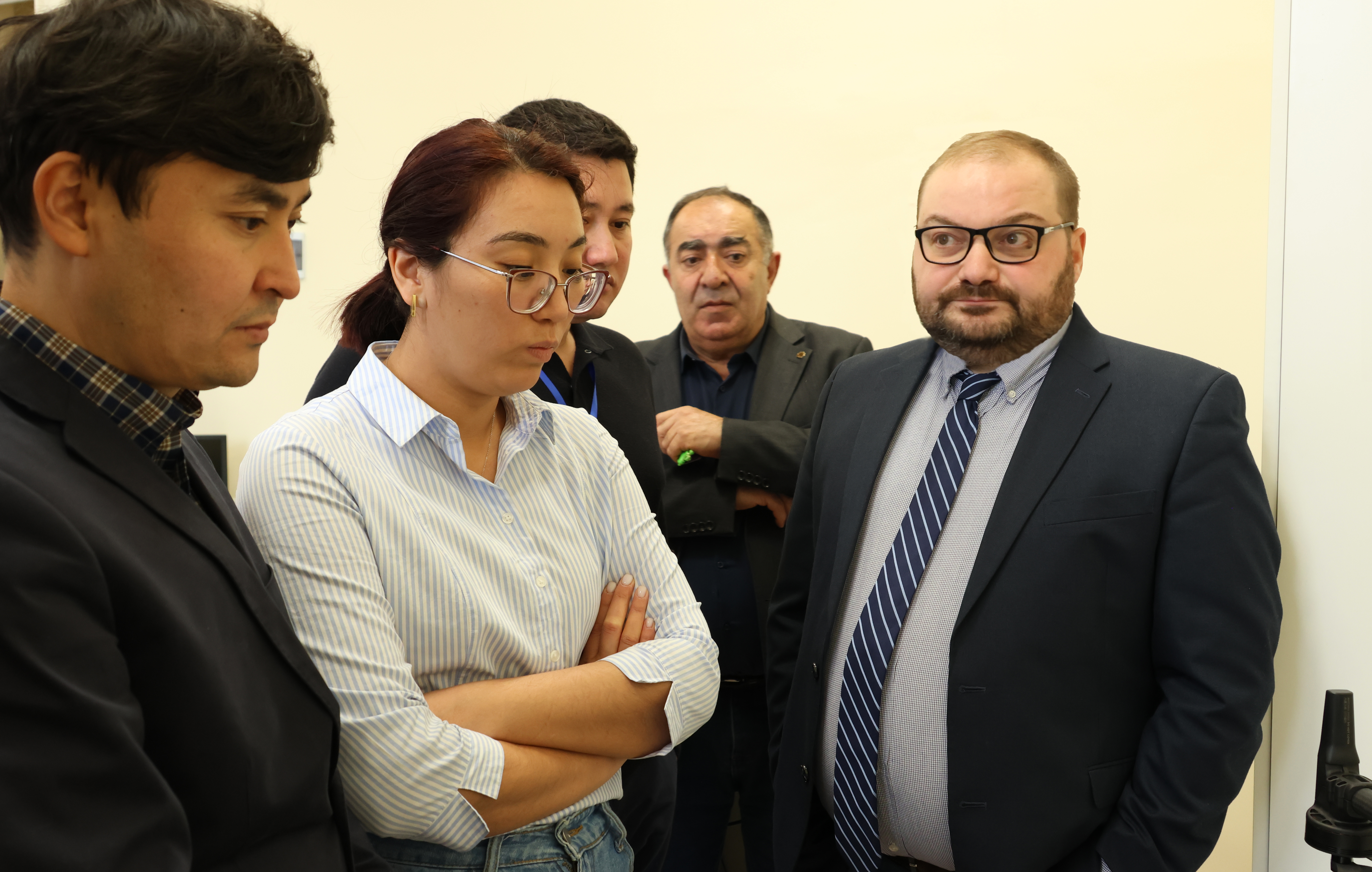
It should be added that Luis Ruiz, the general coordinator of the "GeoTAK" project and Professor of the Polytechnic University of Valencia, Juan Fan, Professor of Royal Institute of Technology in Stockholm, Anka Lisets, Professor of the University of Ljubljana, Akilbek Chmerov, Professor of the Kyrgyz State Technical University, Gulshan Ergeshova, Professor of Osh Technological University, Armen Sargsyan, Director of YSU Center for Doctoral Education, Arsen Aproyan, Head of Grants Coordination Division of International Cooperation Department, Arsen Grigoryan, Head of the Chair of Physical Geography and Hydrometeorology, and others were present at the opening of the laboratory.


