- Main
- Node
- ARMENIA ON FOREIGN MAPS: RUBEN GALCHYAN DELIVERS A LECTURE FOR ORIENTALISTS
November 13, 2018 | 16:40
Science
ARMENIA ON FOREIGN MAPS: RUBEN GALCHYAN DELIVERS A LECTURE FOR ORIENTALISTS
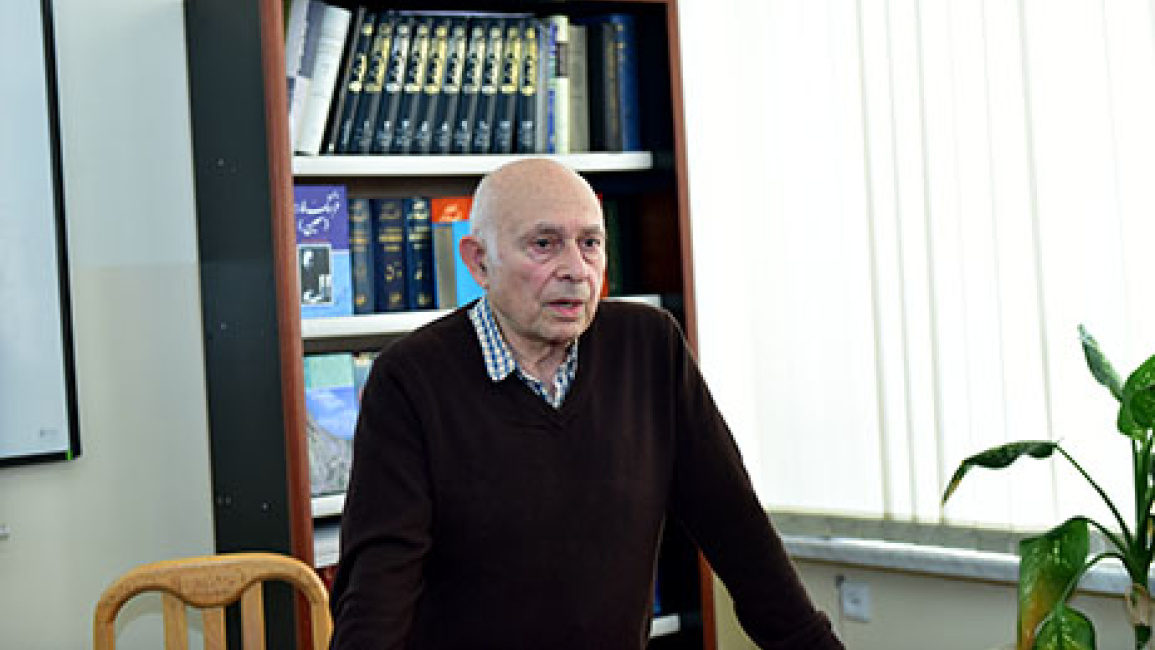
The history cartographer, national figure Ruben Galchyan preented the lecture entitled “Armenia o foreign maps” at the Chair of Iranian Studied of the faculty of Oriental Studies.

The lecturers and students of the Faculty were present at the event.
The speaker was introduced by the head of the Chair of Iranian Studies Vardan Voskanyan who emphasized that the studies made by Ruben Galechyan are of important significance as Armenia is at maps war. The neighbouring countries often use incorrect maps in their propaganda to prove the ancient history of their country. From this point of view, it is very important to study maps and not to let history be falsified.
Mr. Galchyan spoke about the book “Armenia: cradle of civilization” by the Professor of Caucasian Studies of London University, expert of the history of Georgia, Armenia and Bulgaria David Marshall Lang in which he outlined the fact that of the many countries of the region today only two ones exist -Armenia and Iran.
The speaker showed an ancient slab-map on which Armenia, Babylonia and Atropatene were presented as the centers of the world.
Referring to Ptolemy’s map, Christian maps, Portolan charts created for sailors Ruben Galchyan outlined the World chart made by the Persian 10th century geographer Istakhri, the 10th century map of Armenia, Atropatene state of Iran and Caucasian Albania made by Ibn Hawqal.
Ruben Galchyan also presented the 12th century French geographic atlas of Isidor, the Qazvin Islamic atlas of 13th century, the map of the Italian cartographer Fra Mauro (Venice)-1460.
At the end of the lecture the participants discussed the geographic names and traditions of Babylonian scholarship.

